Design your garden.
Watch it grow.
A design tool that shows you exactly how your yard will look in sun and shade, season by season, and 15 years from now — all from a satellite view of your actual property.














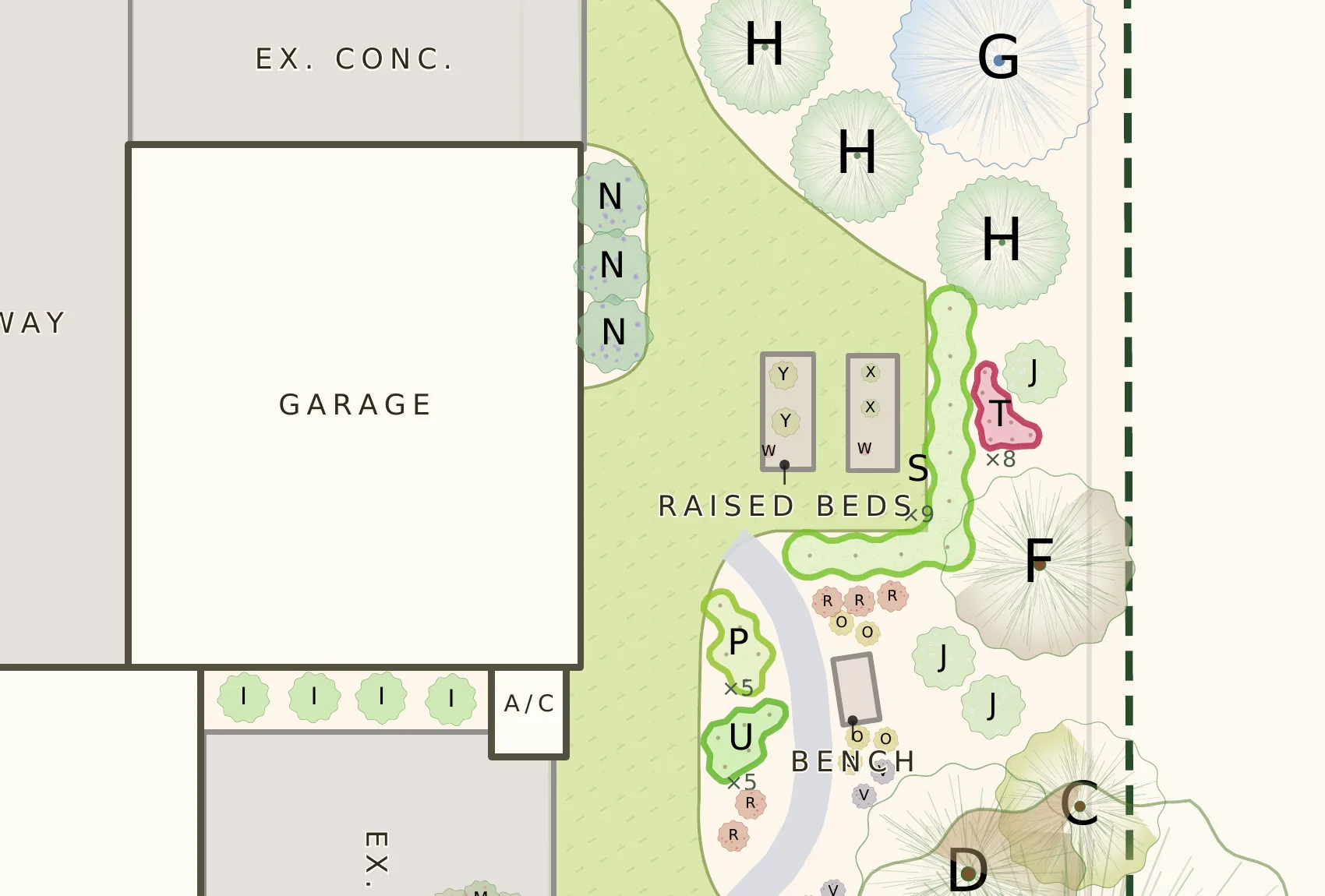
- RBee Balm
- ZBroadleaf Whitetop Sedge
- LLanceleaf Coreopsis
- FCanadian Columbine
- UGoldenrod
- KCommon Coreopsis
- NConeflower
- PAlumroot
- MEchinacea Kismet Intense Orange
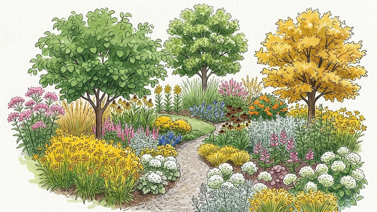
A real Plantyd plan, built over the satellite view of a zone 7a native garden. Read the design walkthrough
Right plant.
Right place.
The principle every landscaper knows. The tool that lets you do it in an afternoon.
Capture your yard
Search your address, drop a pin, and trace your property boundary on live satellite imagery. Plantyd calculates your scale automatically.
Design with confidence
Place hardscapes, turf, and plants on your to-scale canvas. The sun & shade engine maps the light across your whole yard, and the plant filter narrows the catalogue to species that will thrive in it.
See your future garden
Watch your garden mature from Year 1 to Year 15. No surprises when that little sapling fills your whole fence line.
Start from a satellite view
of your actual yard
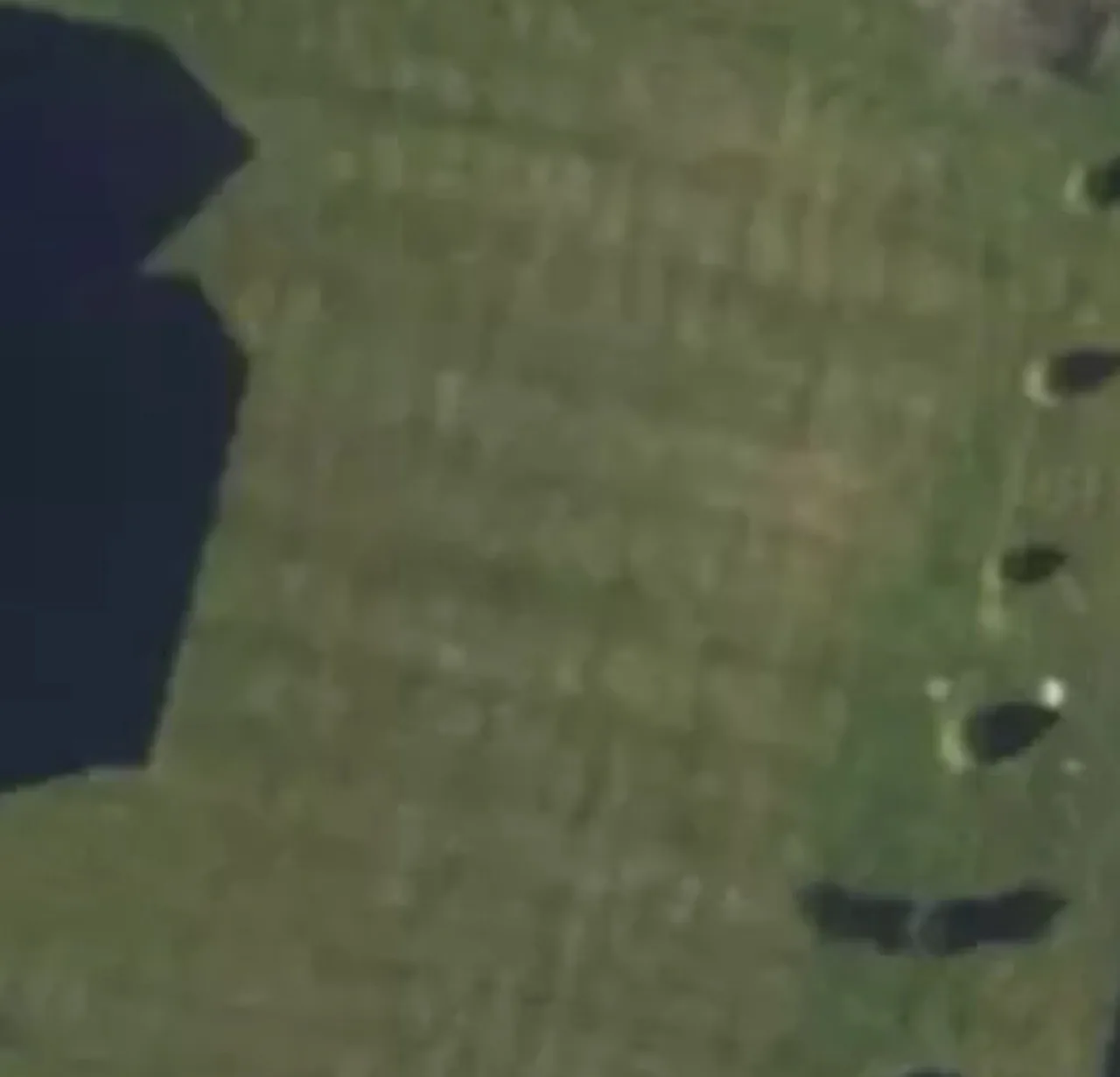
Every other design tool starts with an empty rectangle. Plantyd starts with a real aerial photo of your property. Trace your boundary, and you have an instant to-scale canvas with your house, driveway, and existing trees already in place.
- Automatic scale detection from GPS coordinates
- Live satellite imagery
- Trace your property boundary in under 2 minutes
 42'-8"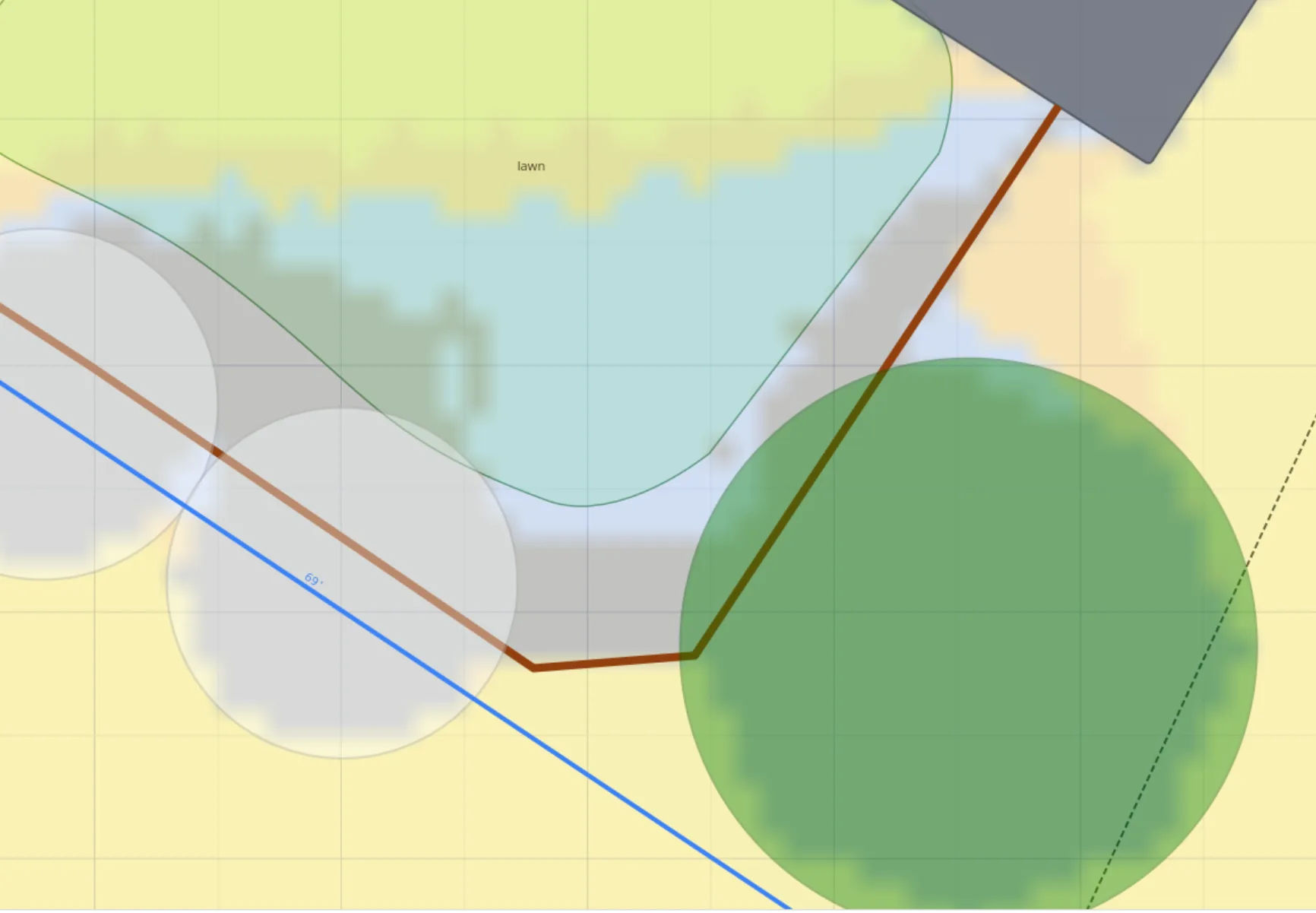
Know exactly where
every shadow falls
Most plant placement fails because the light conditions are wrong. Plantyd's sun analysis engine maps your entire yard by light exposure — full sun, part sun, part shade, full shade — so you can filter the plant library to species that will actually thrive where you put them.
- Yearly light exposure modeling, not just summer noon
- Plant recommendations filtered by your specific zones
- Visual overlay on your canvas — see it at a glance
Plan your vegetable beds
week by week
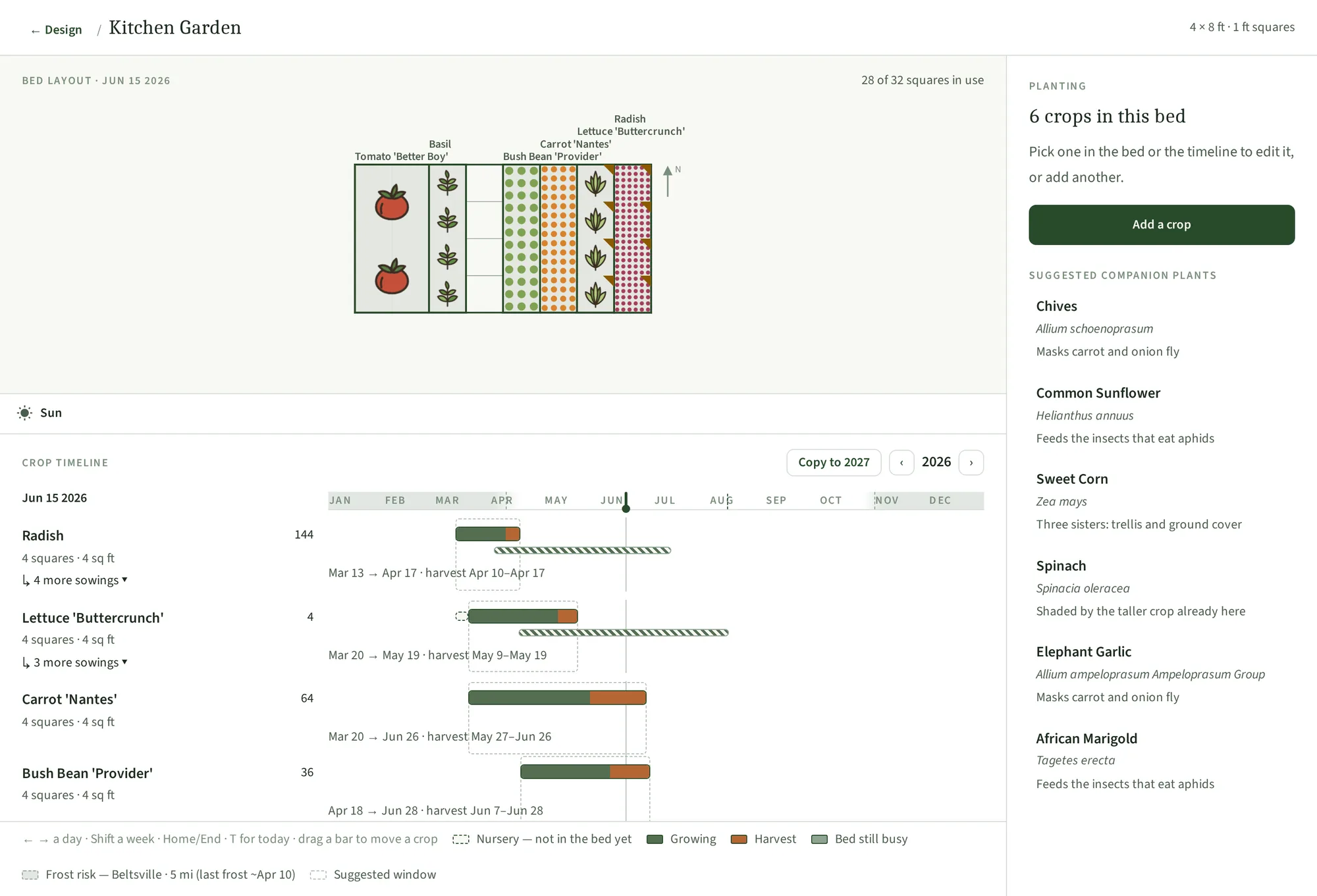
Draw a bed, lay crops out on a real grid, and Plantyd works out the schedule from your own frost dates — when to sow, when the bed frees up, and what can still finish before the cold.
- Sowing and harvest windows from your local frost dates
- Succession planting — the next crop is proposed as the bed empties
- Companion and antagonist warnings, with the reason spelled out
- Per-bed sun and shade analysis, accurate for every season
Watch your garden mature
before you plant a thing
Watch it fill in across Year 1, Year 3, Year 5, and Year 15 — every plant at mature size, so you can spot which ones will crowd each other and make spacing decisions you'll still be happy with a decade from now.
Actual plant growth models from 10,000+ plants in our database
See how the growth timeline works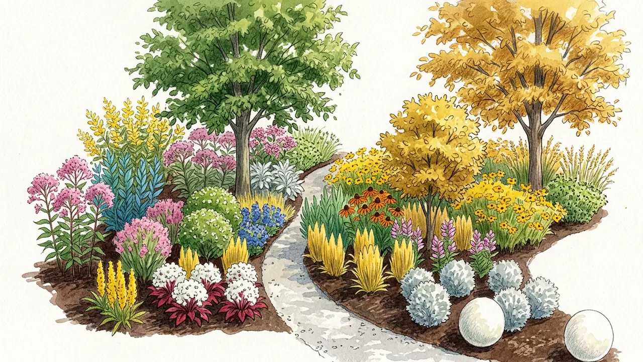
Your best garden
starts with a plan.
Design smarter, not harder.
See your garden before you plant it.
Join the early-access list — we’ll email your invite as spots open up.